 Pass the Exam Easily with Detailed 3-Level Practice | 1-Day Full Access Free — Offer Ends in


Information Signs
- 1/33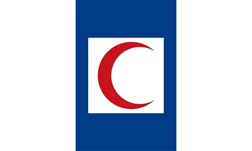
Indicates the location of emergency first aid or Red Crescent services. Used in case of accidents. Easily visible for quick access.

Shows the presence of a nearby hospital. Useful for medical emergencies. Follow directional signs for entry.

This road leads to no through traffic. Drivers must not expect an exit. Often placed on side roads or alleys.
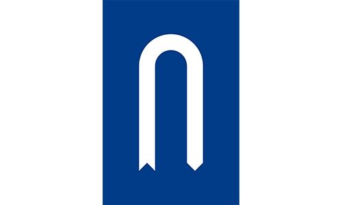
A designated U-turn is available ahead. Ensures proper maneuvering in divided highways. Use signal before turning.
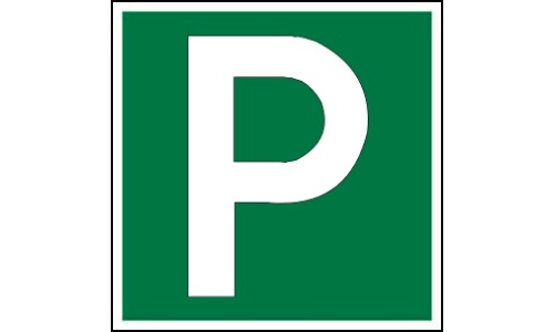
Indicates a public or designated parking zone. Drivers may safely park here. Check for time or fee restrictions.
Denotes rest and recreation stops along highways. Facilities may include food, fuel, and toilets. Used on expressways.
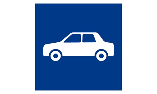
Shows area for general vehicle parking. Always park within marked zones. Look for pay stations or rules nearby.
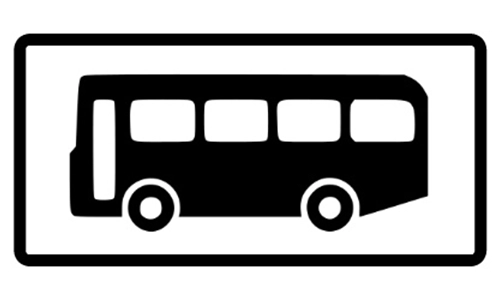
Designated stop for buses to pick up/drop passengers. Only buses may stop here. Useful for public transport users.
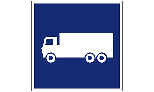
Specific parking area for trucks or heavy vehicles. Helps separate traffic types. Follow local regulations.
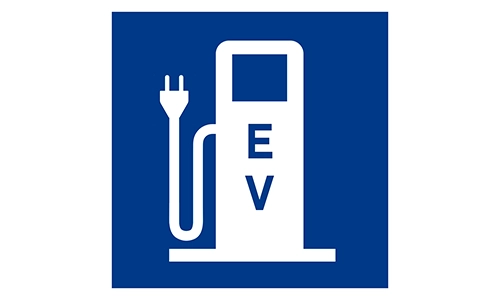
Location for electric vehicle charging. Only EVs may park here. Usually equipped with fast-charging ports.
Indicates the presence of a mosque. Helps travelers locate a prayer facility. Usually found near highways or towns.
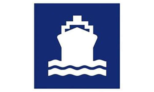
Denotes a ferry crossing or terminal ahead. Allows crossing water by vehicle. Follow timing and loading instructions.
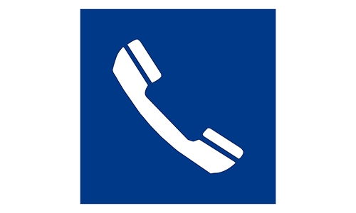
Location of a public phone booth. Useful in emergencies when mobile signal fails. Rare but still marked for access.

Location of a tourist or driver info point. Find maps, local help, or travel guidance. Common at rest areas.
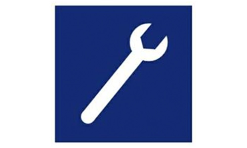
Indicates nearby vehicle service station. Includes mechanics or tire repair. Used for breakdown or maintenance needs.
Entry point for motorcycles only. Ensures vehicle segregation. Look for alternate paths if in a car.

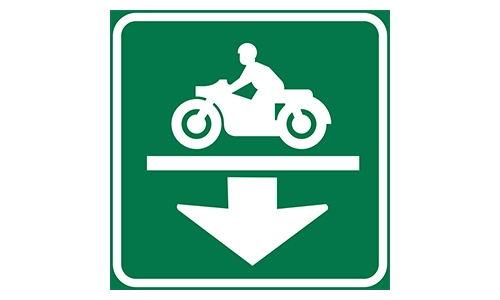
Sign showing a dedicated motorcycle underpass. Enhances safety in high-traffic zones. Do not enter if in a car.
Indicates an overhead motorcycle lane or flyover. Usually built for safety. Restricted to two-wheelers only.
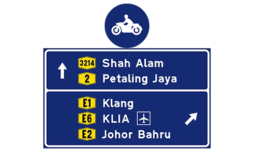
Guideboard for motorcyclists to navigate specific destinations. Reduces confusion and increases safety. Follow arrows.
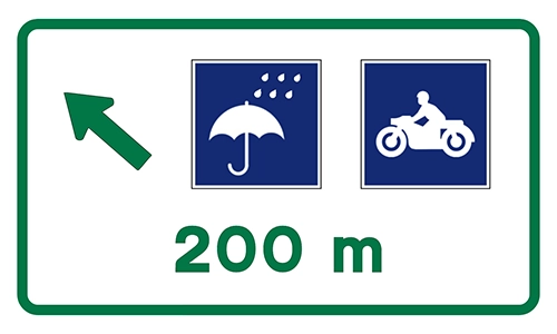
Motorcyclists should prepare for entry to a special lane in 200 meters. Helps with safe lane transition.
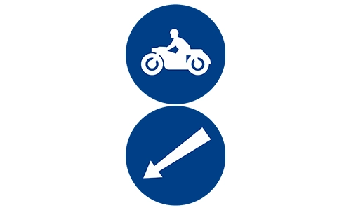
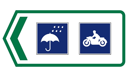
Directs motorcyclists toward a designated exit lane. Chevron increases visibility. Often found before intersections.
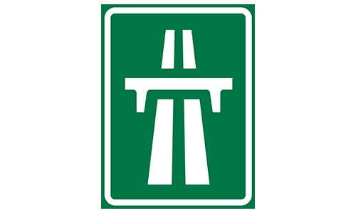
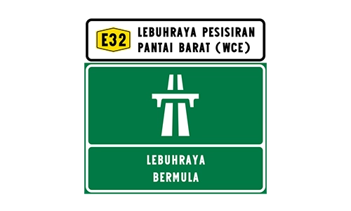
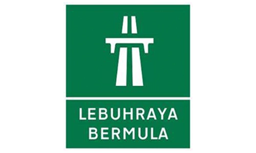
Indicates the beginning of an expressway. Higher speed limits may apply. Restricted access to suitable vehicles only.
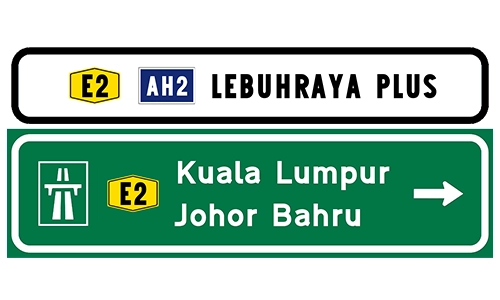
Displays expressway direction and destination – Johor Bahru. Helps with navigation decisions. Usually shows E-number and route.
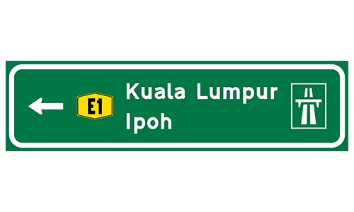
Green signboard showing direction toward Ipoh. Includes expressway code and route info. Ensure lane discipline.
Shows remaining distance to next expressway exit or point. Helps with planning rest or fuel stops.
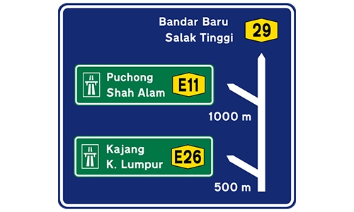
Sign showing multiple destinations and distances. Used in junctions or complex interchanges. Follow symbols and arrows.

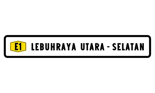
Sign showing expressway name for orientation. Used to confirm route being traveled. Common on green/yellow boards.
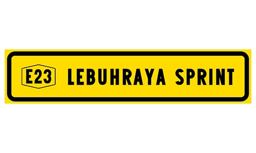
Identifies Sprint expressway entry. Provides expressway route number. Reassures drivers of their current path.
Indicates route to West Coast Expressway. Used to assist long-distance navigation. Maintain expressway rules.
Denotes the beginning of a controlled-access highway. Expect limited entry/exit. Speed limits apply.
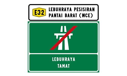
Marks the end of the expressway section. Speed and access restrictions cease. Resume normal road rules.
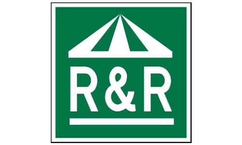
Informative signage for upcoming rest areas. Includes R&R facilities. Helps long-distance travelers.
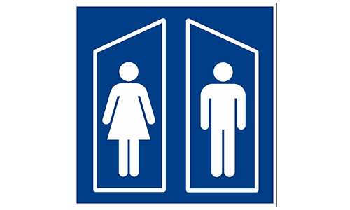
Indicates availability of male and female restrooms. Ensures hygiene and comfort. Common in R&R zones.